High-precision terrain measurements and reliable data for all your construction and engineering projects.
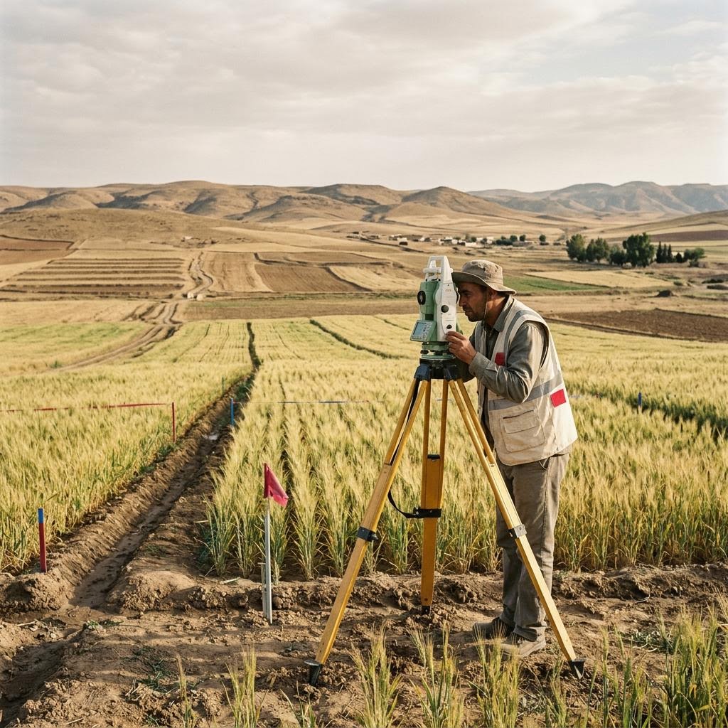
Precise surveying of farmland, boundary and area determination, and preparation of plans for agricultural support and land reclamation files.
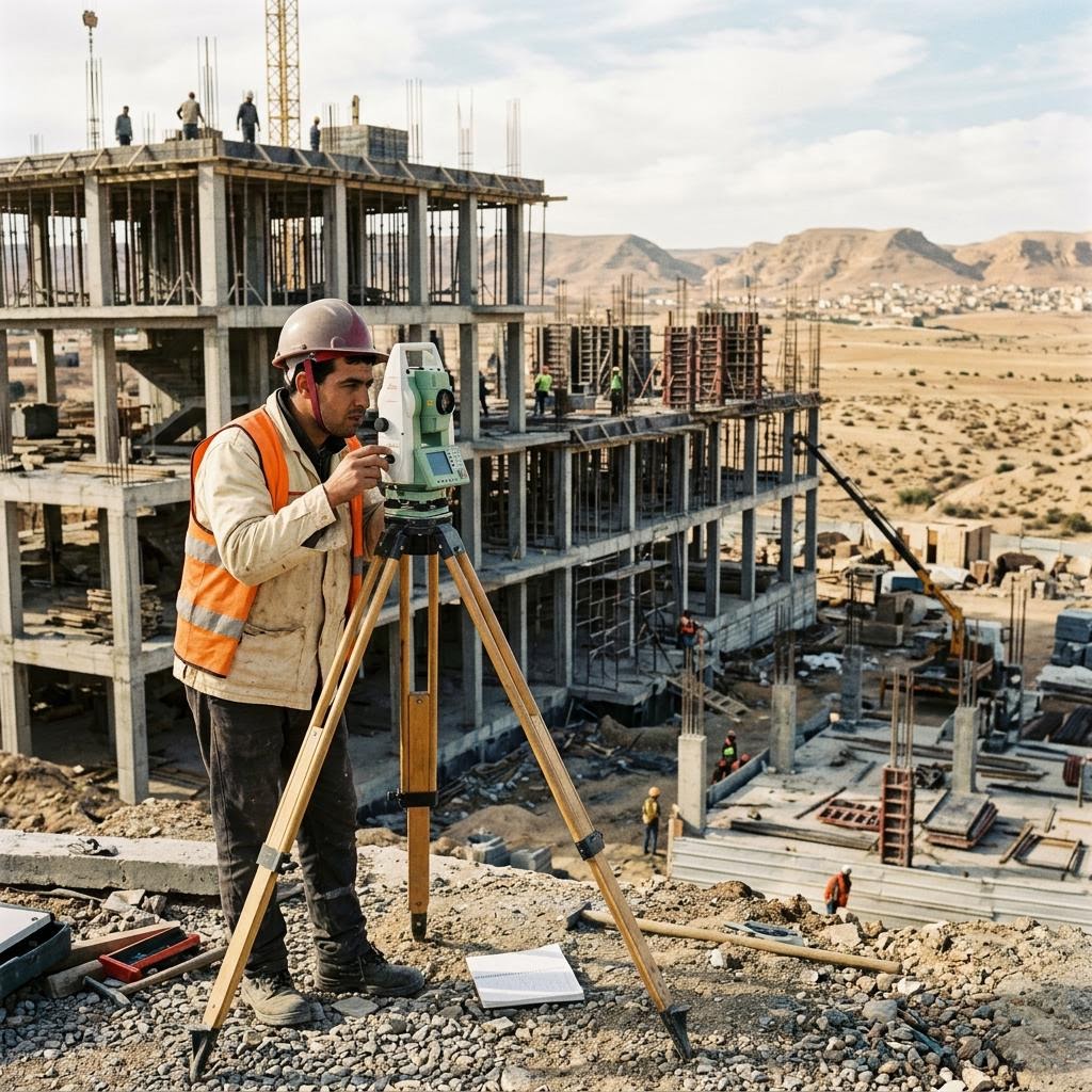
Support for construction and urban development projects: initial surveys, setting-out, works monitoring, and high-precision volume calculations.
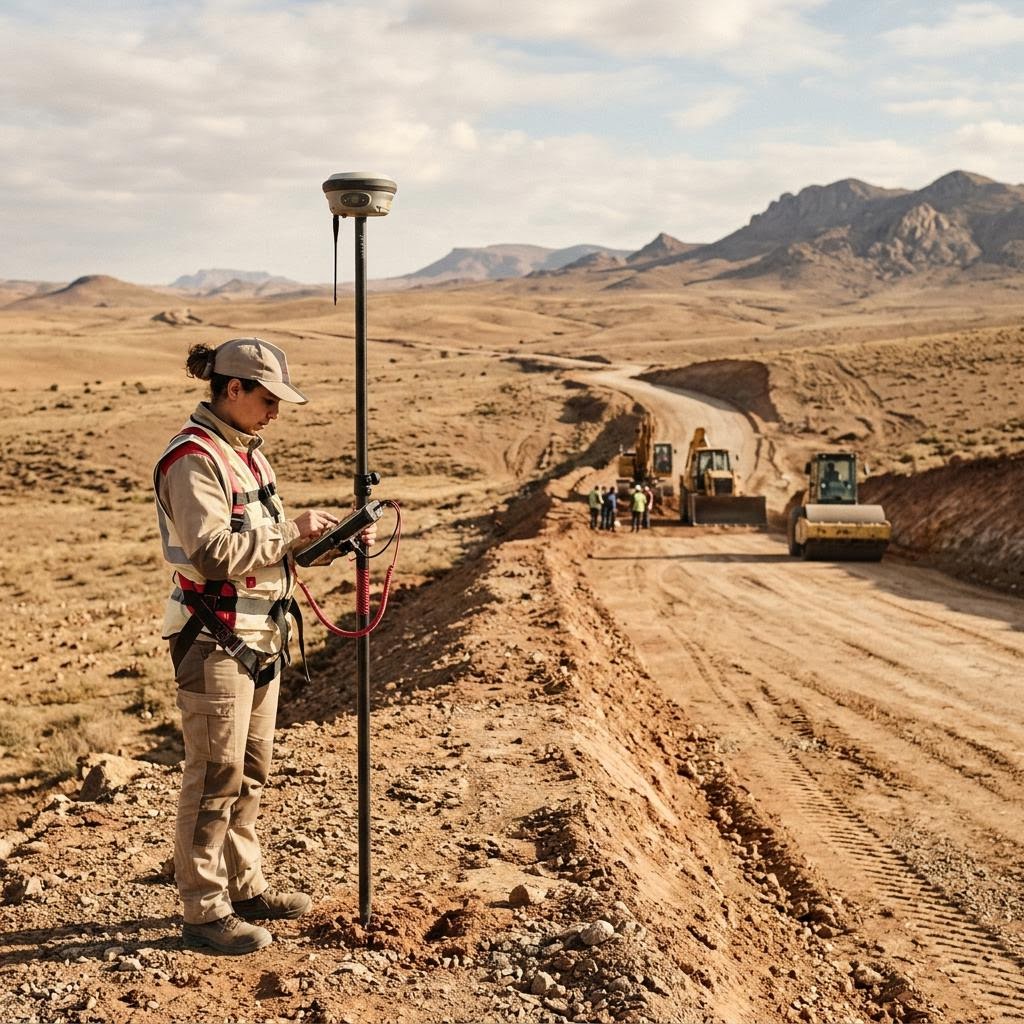
Studies and monitoring of roads, networks, and power station projects using the latest GPS devices and total stations.
Consulting in surveying and real estate, judicial expertise, and preparation of technical files for administrative bodies.
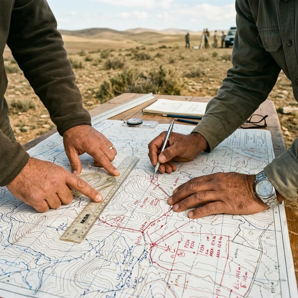
A secure space for every client to receive final files, reports, and plans anywhere, with specialized digital apps according to subscription.
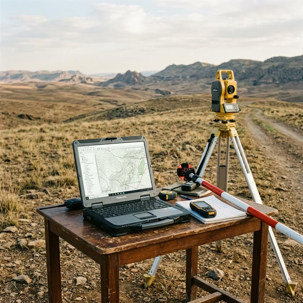
Survey data processing, digital map production, and preparation of GIS geographic databases and ready-to-use CAD plans.
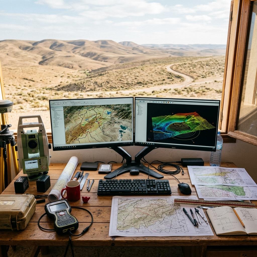
Tell us what you need and we will help define the scope and the right next steps.
Contact us