
01
Absolute Precision
We never compromise on the accuracy of the data and plans we provide, as they are the foundation of any project.
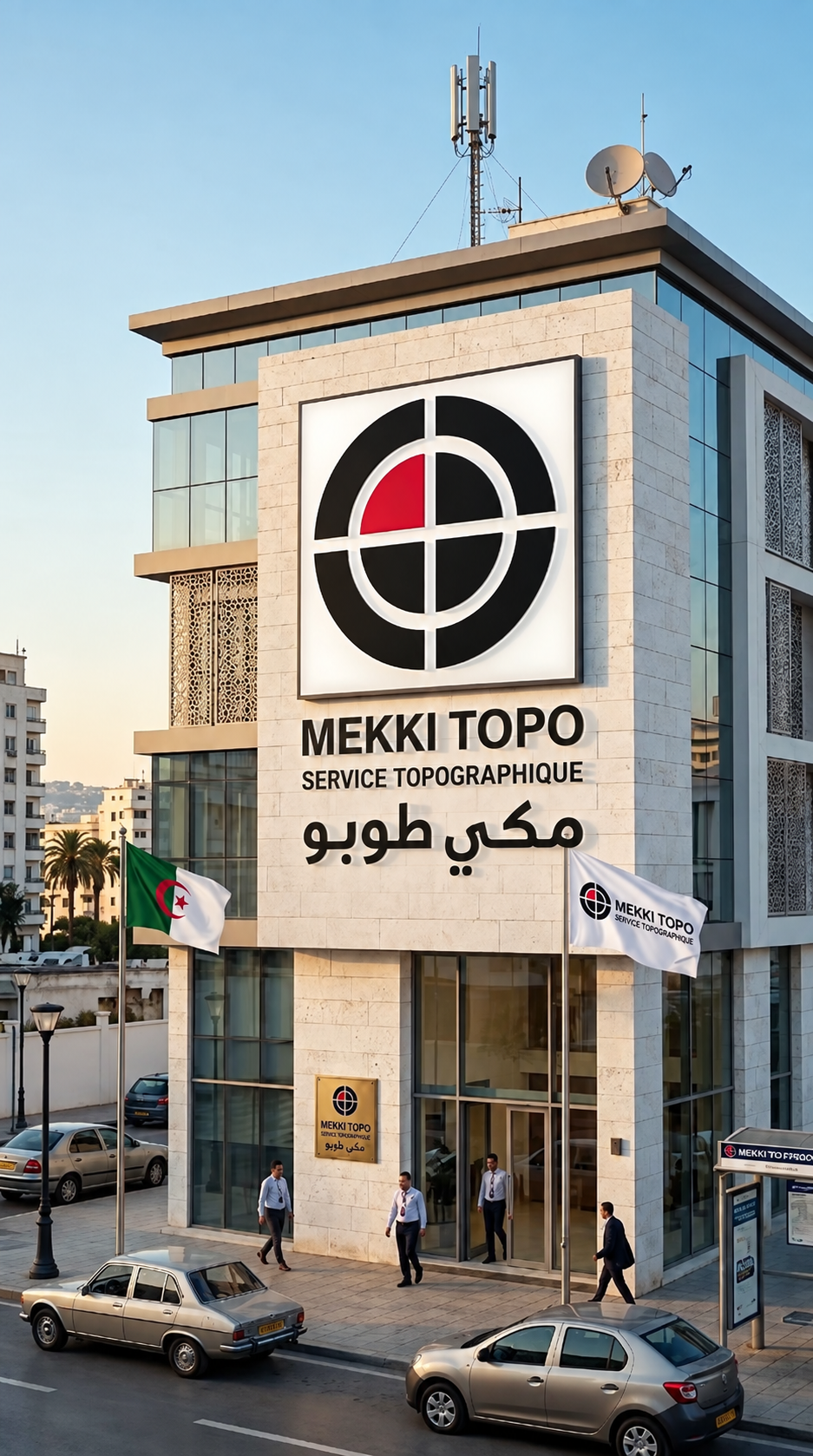
MEKKITOPO is a platform specialized in topographic, geographic and geospatial solutions. It provides professional services that combine field accuracy, digital technology and technical expertise to support project owners, investors, engineers and contractors through every stage of their projects.
We support our clients from topographic surveying and project setting-out to geospatial data analysis, digital mapping, agricultural planning and on-site works monitoring, delivering accurate solutions that help them make decisions with confidence and clarity.
We also facilitate project execution by coordinating between project owners and specialized execution teams, with the aim of providing a clearer and better-organized view of every stage of the investment.
At MEKKITOPO, we believe that the success of any project begins with accurate information, clear planning and organized execution.
MEKKITOPO — Precision that marks the starting point of your project
We never compromise on the accuracy of the data and plans we provide, as they are the foundation of any project.
We adhere to the highest standards of quality and credibility in every interaction with our clients and authorities.
We continually invest in the latest surveying equipment and GIS systems to ensure operational efficiency.
We work as a team with our clients to understand their needs and achieve their goals accurately and on time.
Contact us today to discuss your project requirements and receive expert consultation.
Contact Us