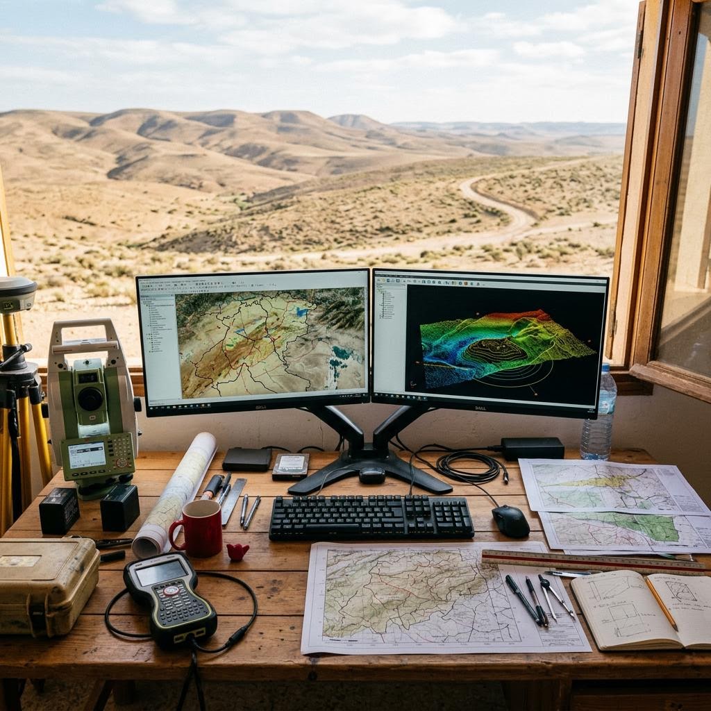
Geospatial solutions for data analysis, mapping and transforming information into digital tools that support planning and decision-making
Creation of accurate digital maps for land, roads and projects, with structured spatial data for easier updating and practical use
Using spatial data and digital analysis to understand land characteristics, support agricultural planning and improve farm project management and monitoring
Organizing and numbering buildings and streets while linking them to spatial data to create a clear information base for urban management and services
Analysis of satellite imagery to extract spatial information and monitor changes in vegetation, land use and urban expansion
Converting paper plans, maps and documents into structured digital data that can be edited, analyzed and used within GIS environments
Mekki Topo experts are ready to answer your questions and define your project requirements.
Contact Us