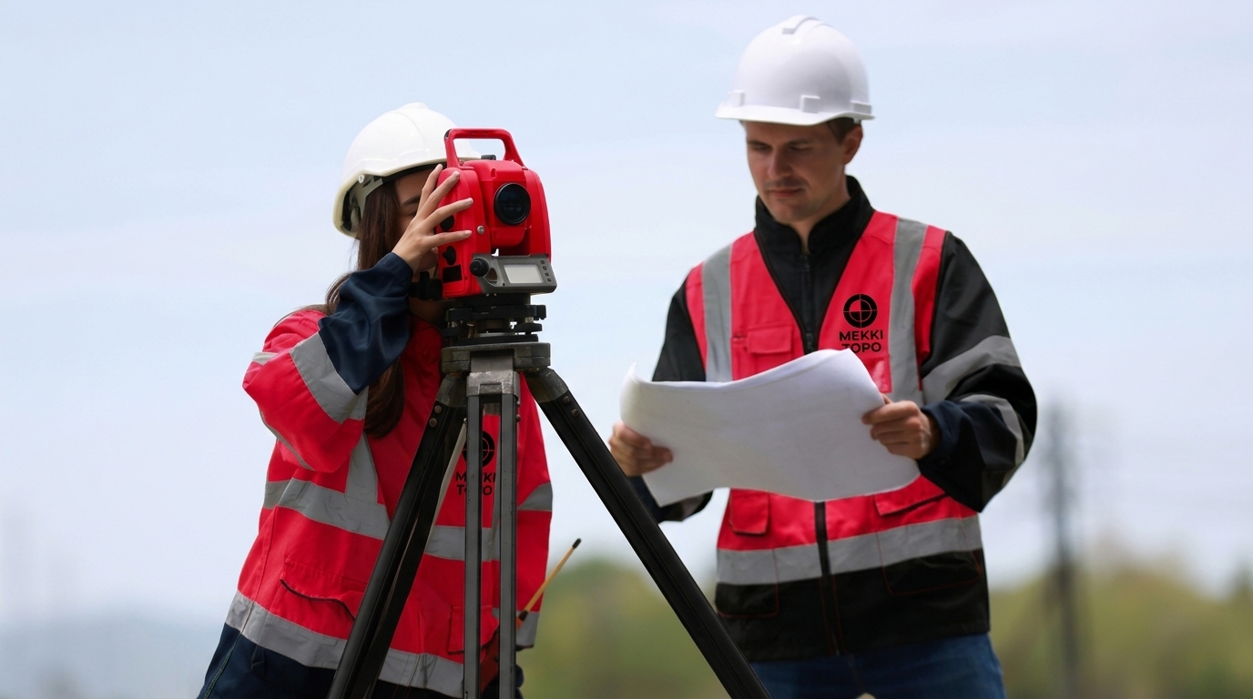
In many projects, attention is focused primarily on land boundaries and surface areas, while a technically critical factor is sometimes overlooked: ground levels and elevations.
In reality, even a small difference in elevation can lead to significant construction problems, particularly in building, road, irrigation, and drainage projects.
This is why altimetric surveying is one of the most important components of topographic surveying and a key factor in the technical success of a project.
Altimetric surveying is the process of measuring and analyzing ground elevations and levels across a site in order to identify:
High and low points.
Slope directions.
Differences in elevation.
Terrain characteristics.
These data can be represented in the form of:
Contour lines.
Digital Terrain Models (DTMs).
Such surveys are carried out using precision instruments and technologies, including:
Levelling instruments.
Total stations.
GPS positioning systems.
Unmanned aerial vehicles (drones).
Errors in ground levels can lead to:
Water accumulation.
Drainage network failures.
Soil erosion.
Altimetric surveying enables engineers to identify natural water flow directions and design drainage networks correctly.
In site development, road construction, and building projects, it is essential to determine:
How deep excavation needs to be.
Where elevated areas are located.
How much fill material is required.
Altimetric surveying enables more accurate calculations of cut and fill volumes, helping reduce material waste and control project costs.
Site assessment requires careful consideration of several factors, including:
Steep slopes.
Significant elevation differences.
Areas prone to water accumulation.
Altimetric surveying helps engineers make informed technical decisions before construction begins.
In road projects, elevation levels are a critical design parameter. Any error may result in:
Unsuitable or hazardous gradients.
Inadequate stormwater drainage.
Safety and stability issues.
For this reason, altimetric surveying is essential throughout the various stages of road design and development.
Altimetric surveying is widely used in the following fields:
Building and construction projects.
Roads and access tracks.
Sewerage and drainage networks.
Irrigation networks.
Water storage basins.
Urban development.
Agricultural projects.
Planimetric surveying focuses on determining the horizontal positions of features within a site, such as:
Land boundaries.
Buildings.
Roads.
In other words, it answers the question: Where is the feature located on the horizontal plane?
Altimetric surveying focuses on ground levels and elevations. It helps answer questions such as:
What is the elevation of a specific point?
Where are the slopes located?
In which direction does water flow?
The two types of surveying are often combined to produce a complete and accurate topographic survey.
Some of the most common issues encountered on construction sites include:
Water accumulation within project areas.
Differences between the elevations shown on drawings and actual site conditions.
Errors in drainage network layout.
Unexpected increases in excavation volumes.
Structural stability problems.
In many cases, these issues are associated with the absence of an accurate altimetric survey during the initial stages of a project.
Modern surveying practices increasingly rely on advanced technologies, including:
Digital Terrain Models (DTMs).
Drone-based aerial surveying.
Three-dimensional (3D) mapping and modelling.
Engineering and terrain analysis software.
These technologies significantly improve the accuracy of elevation analysis and terrain assessment, providing more reliable data to support engineering decisions.
Altimetric surveying is far more than simply measuring elevations. It is a fundamental component of understanding terrain characteristics and ensuring the technical and engineering success of a project.
Successful projects depend not only on the quality of execution but also on accurate field data from the outset. Ground elevations are among the most important elements of that data.